
Mt. Riley Adventure #2
Doña Ana County, New Mexico
September 6, 2009
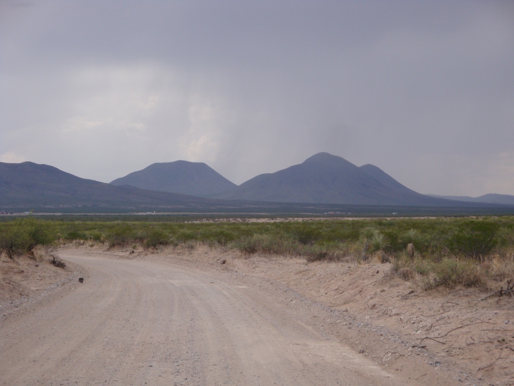
Riley is the taller peak in the middle. Note the heavy storms over the area – they all dissipated after a few hours. The Three Sisters (Riley, Cox, and No-Name) are giant thermal generators and air over this area is always going up which is why there are so many storms here.
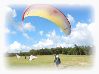
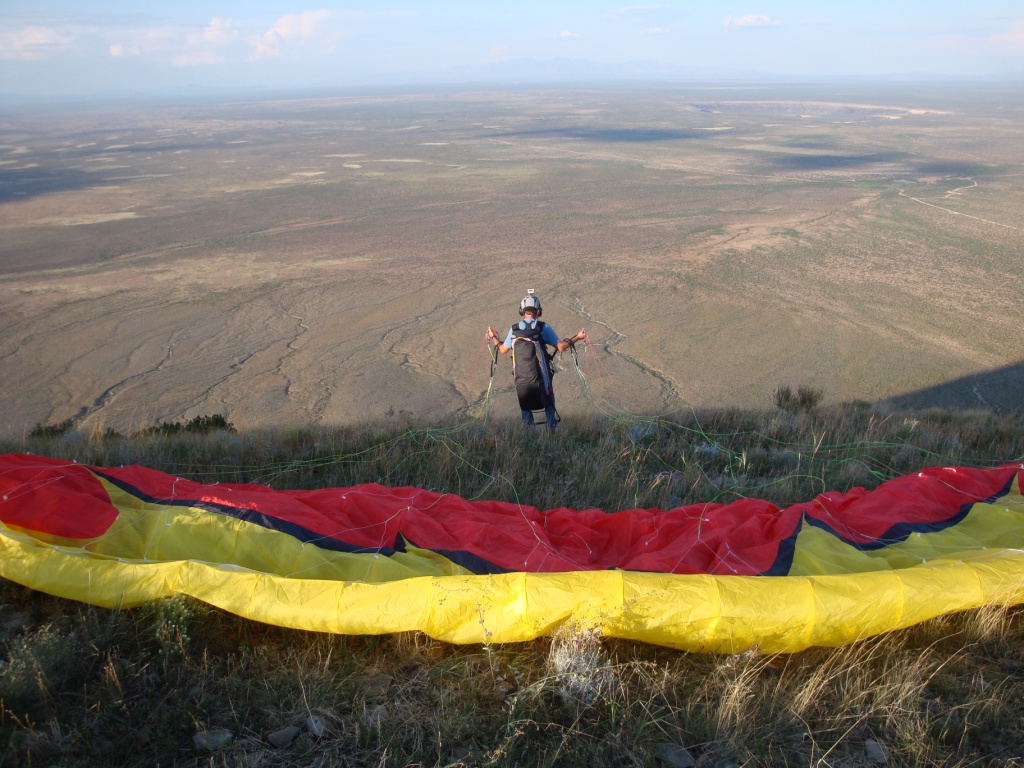
Grady Viramontes (P2) and his instructor, Had Robinson, ventured out to the middle of nowhere for a first – Grady is the first native born, native trained PG pilot to fly Mt. Riley. Conditions were mild that afternoon with a weak NE breeze. In the photo below Mt. Cox is visible in the background. Our trucks are parked around the base of Riley to the left (out of sight here).
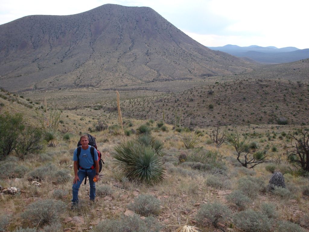
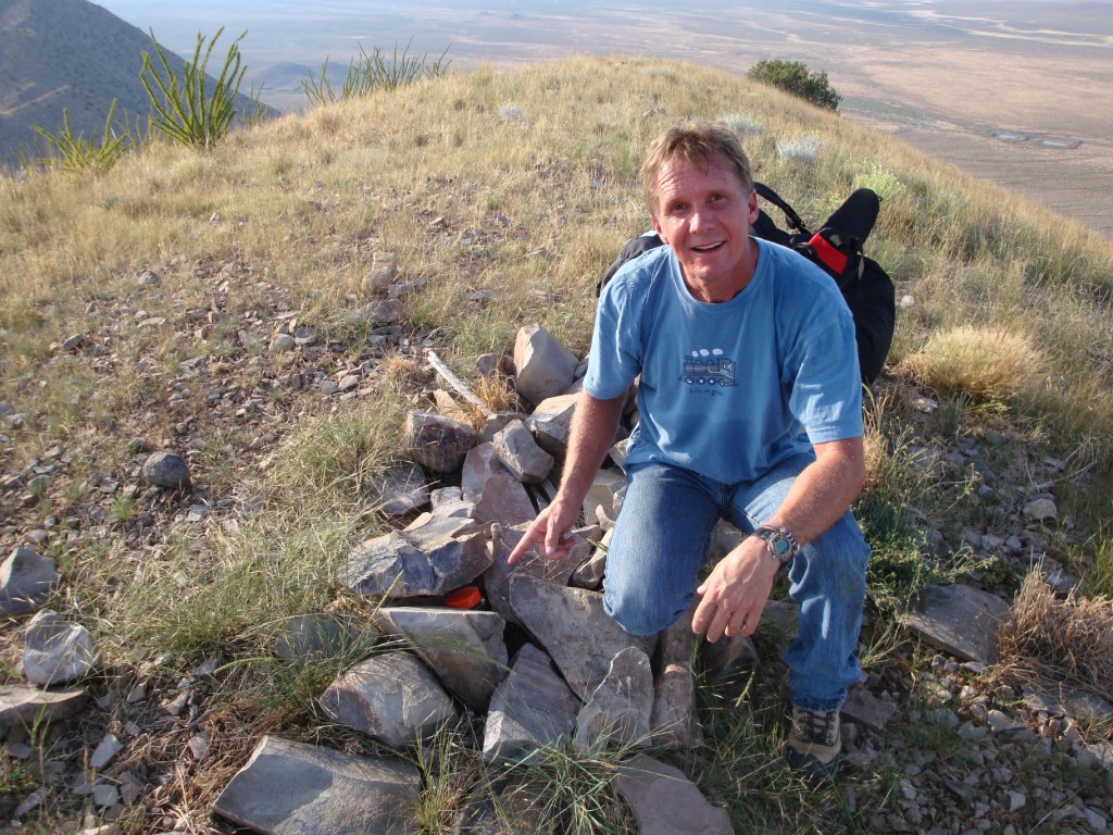
The hike to the top was about 40 minutes from the access road that is about 1/2 way to the top on the west side. This is a "hike-'n-fly" mountain in a remote area of south central New Mexico = dark sky, no services, no power lines, not much.... The top of Riley is ideal for PG/HG launch as there are no obstructions of any kind – just a smooth cone with grass and small rocks at the summit. This peak had a small jar with a notebook for visitors to give the date and their names. Hopefully, an ambitious hang glider pilot (Robin Hastings?) will be the first to fly from the top (we'll get a crew to haul up the glider).
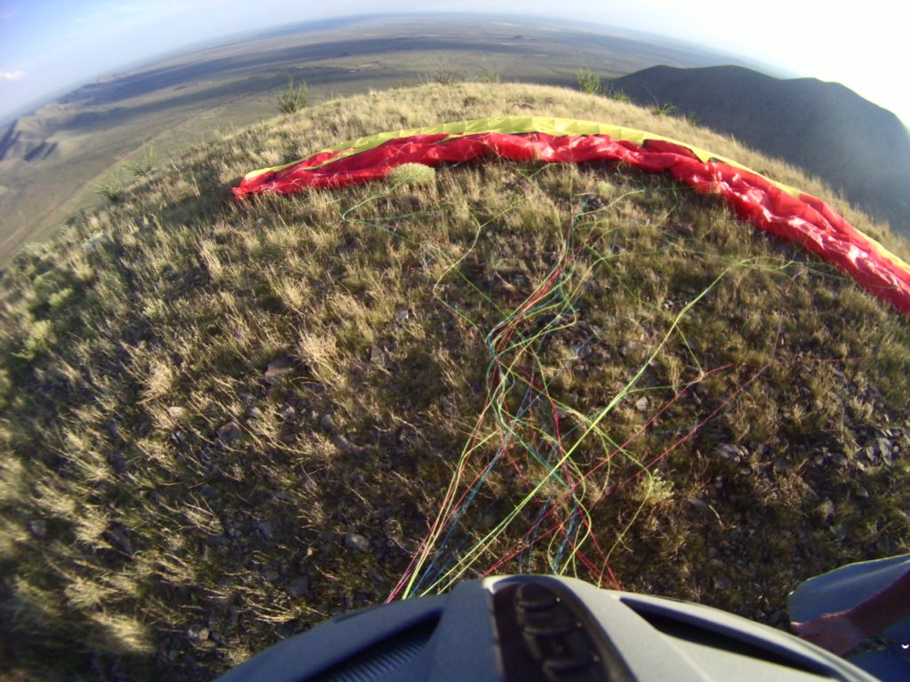
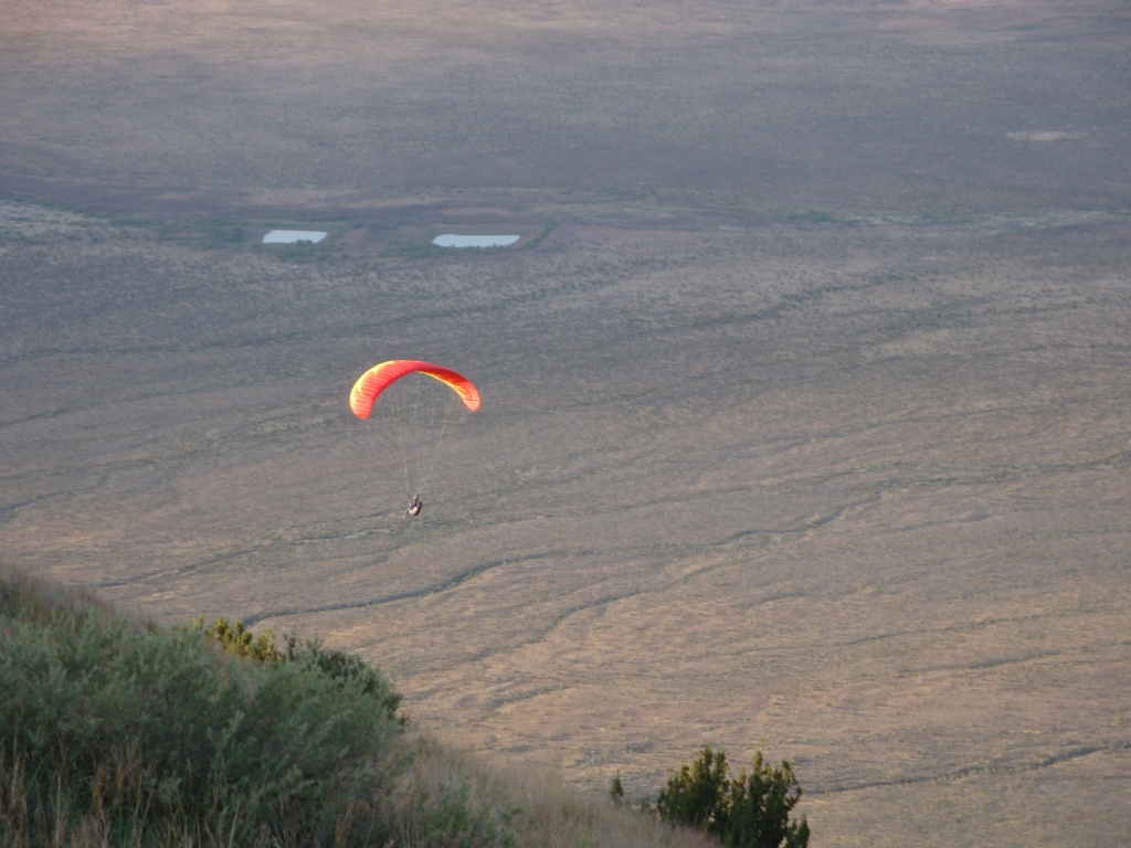
Grady did a forward launch about 6:00 PM as the breeze was not more than about 2 mph and sometimes it was calm. As a P2 about to have his first mountain launch, the lateness of the day made sure that the air was not turbulent. The view below is to the NE – a few water tanks out there and that's it. The whole region is quiet, peaceful, and beautiful. What a privilege to fly out into the air in such a place as this!
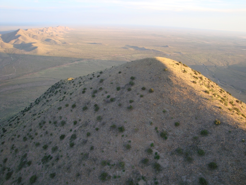
View of the summit looking south. Mt. Cox is to the right and the East Potrillo Mountains are to the left.
Grady is soaring out in front of the summit with the East Potrillo Mountains to the left distance.
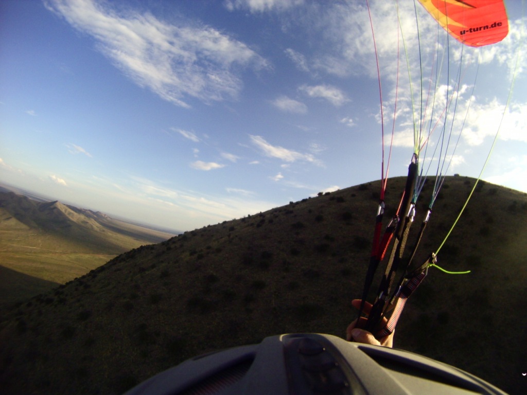
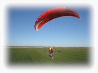
Grady was able to safely soar the windward face of Riley about 10 minutes before he headed for the alluvial plain which surrounds the mountain.
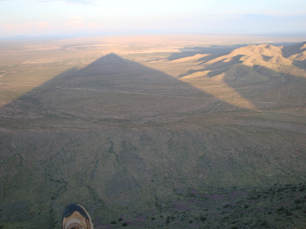
The wind changed from NE to east and then Had launched in light winds around 7PM. He was able to soar the face until dark. The pointed shadow seen in the photo below is of Mt. Riley.
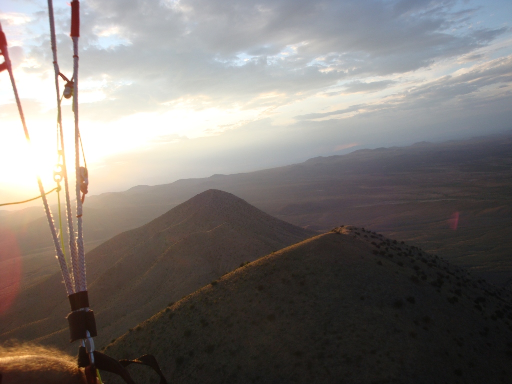
There was enough of a breeze to allow a pilot to soar above the summit of Mt. Riley. The East Potrillo Mountains are visible in the upper left in the photo below. If there was more time before dark, we could have jumped across the gap and soared the east face of this range for many miles. However, such an adventure requires a ground crew to pick up the pilots – which we did not have this time.
In the photo below: Mt. Riley (foreground), Mt. No-Name (center), and the West Potrillo Mountains (rear).
It was getting dark and we had to come down. Both pilots safely landed and walked back to where their trucks were parked (the area that is to the center left of the photo above). Grady just landed below – in the one of the biggest LZ's in the USA.

![]()