
Magdalena Rim
5,555' MSL 500' AGL located in New Mexico Rated H/P3.
This site was discovered independently by Had Robinson and Matt Hayes. Had Robinson first brought it to the attention of the world and developed it for paragliding. Robin Hastings developed it for hang gliding. Robin was the first hang gliding pilot to fly Magdalena Rim and Had the first for paragliding.
Expectations for student pilots
Students must be advanced in their P2 skills to launch from Mag Rim.
Wind must be 190º to 230º. Wind speed should be at least 4 mph and not greater than 10 mph. The site is not soarable with winds less than 7 mph.
The site should not be flown outside of the normal 1.5 hours on either side of dusk and dawn (during the late spring to the late fall) because of the intense thermals that drift in from the desert out front.
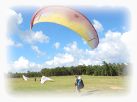
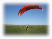
Forward or reverse launches may be done safely at Mag Rim.
After launching and the winds are 7 mph or greater, pilots may turn left and follow the Rim for approximately 1/2 mile. The pilot should stay at least 100' out from the terrain. Alternately, the pilot may choose to head out and land in the desert in front. If he chooses to do this, he must head straight out and not attempt to land on the Rim side of the arroyo which is below but head out to the desert on the other side of the arroyo. The arroyo contains small trees and boulders which present a hazard to pilots.
If the pilot gets below launch, he must immediately head straight out from the Rim and land in the desert and NOT attempt to land in narrow grassy area at the base of the Rim which is on the Rim side of the arroyo. The grassy area LZ is only for P3 students and above.
The main hazard of the site is to stay out of the arroyo that is 1/4 mile out in front. It is an easy glide to the desert out in front.
If a student gets higher than launch, a top landing is easy and safe anywhere behind or to the sides of launch for at least a distance of 100 yds.
New pilots visiting this site
Contact the RGSA for directions and the coordinates for Middle Launch and the Main LZ. Put these coordinates in Google Earth or equivalent and carefully study the area, especially where you might land after studying this site guide.
Mitch Graham just off Middle Launch. Steve Crye is visible in the upper right.
Site Guide
Introduction
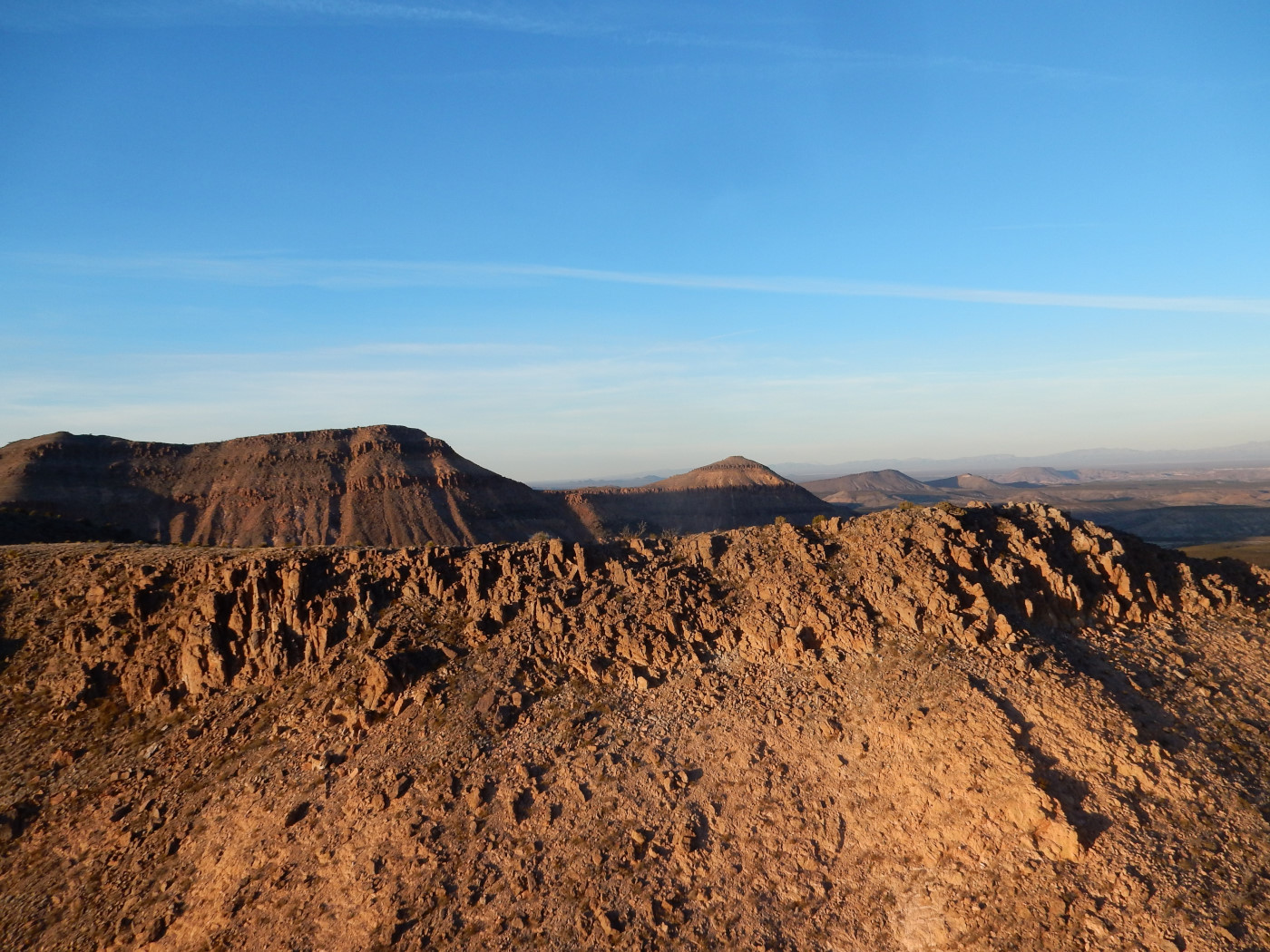
Magdalena Rim, a sensitive site, is one of the best ridge soaring sites in North America due to its remote location, passive safety, and stunning natural beauty. In moderate winds it is easy to get 600' over launch. The rim faces southwest for much of its length and then it starts to turn south and then SSE at the southerly end. The best lift is near the southeast end at its highest elevation when winds are southerly to WSW.
Stabilized video of Mag Rim best captures its grandeur with pilot Tom Bird – Had Robinson
On the way up to the Mag Rim launch area, pilots will pass the LZ at the east base of the Rim on the left side of the road. Hang gliding pilots should be sure to put a wind sock in the LZ as you pass by, in case you need it. Take the jeep trail to the fence near the edge of the rim. Please stay on the roads at all times. When traveling these roads at night, be exceedingly cautious of livestock on the road which are often invisible. Clean up trash that you find, leave the area better than when you came. Please help preserve our valuable and fragile desert for future pilots and visitors.
It is an excellent ridge soaring and thermalling site for the following reasons:
1. Launch is easily accessible by paved road almost the entire way. 4 wheel drive is unnecessary. The main LZ is just a 12 minute trip from the top of the rim.
2. It is our safest site for newer pilots (HG/PG) because the sides and rear of launch are clear for hundreds of yards. The launch face is not a precipice so side-hill landings for PG are easy to do. Blown launches (PG) are more forgiving due to the absence of barbed wire fences, trees, buildings, huge rocks, cliffs, etc. Bailout LZ's are abundant and easy to land in. Retrieve is possible via a jeep trail out in front of the rim but it takes an hour to get there. Pilots who are in shape can make the hike back up to the top.
3. The topography behind launch allows top-landings without having to deal with hazardous rotor/turbulence that is present at all our other sites with the exception of Kilbourne Hole maar. The top landing area is enormous which means pilots can make significant errors in setup and not be exposed to hazards. It is the only site other than Kilbourne where PG pilots can inflate their glider, move slowly and with control to the launch edge, and be gently lifted up.
4. Easy access, a clear launch area, and the ability to consistently top-land makes Magdalena Rim ideal for tandem and flights by the handicapped. We are looking forward to making this available to special needs pilots.
5. It is flyable with winds from south southeast to west.
6. When thermals are present, the site can be flown in light winds. The thermals drift in nicely at Middle Launch with a southwest breeze. Pilots should focus on staying in the thermals rather than fly up and down the ridge. Jumping to the higher rim 0.6 miles behind has been done by hang glider pilots but not yet by paragliding pilots. The wide open range presents few hazards to flying away from launch. An abundance of roads in the region makes retrieves easy.
7. Camping can be done in the area.
Wind conditions
Winds 190º to 230º will give the best air for soaring. When winds are less than 190º pilots cannot expect to get as high and there is a slightly greater amount of turbulence along the Rim. When winds are greater than 230º, there tends to be more turbulence at the site due to the low range to the west. There is no weather station nearby that can give us real-time data on wind speed and direction so we must rely on other sources of information. The Deming and Las Cruces airports are some help in indicating what we will experience at Middle Launch.
This means that pilots must know how to check the latest balloon soundings at Santa Teresa (EPZ). Look at the DRCT and SKNOT columns which give the direction and wind speed at a particular altitude (HGHT column), respectively. If there is any wind direction greater than 240 degrees up to at least 12,000' MSL (4,800m MSL), the conditions at Mag may be poor. The less the westerly component in the wind direction as altitude increases, the less turbulence.
Here is a sample balloon sounding from Santa Teresa, NM that shows ideal winds aloft. The problem with the latest balloon sounding is that it may be up to (12) hours old. Balloon soundings will also tell you if there is an inversion. If it is below 2,500m, the inversion may trap air and the launch area may become a venturi with high speed winds.
A subscription to XC Skies is highly recommended and should be checked. The latest version of this program has (6) models from which to check.
Only fly Mag if all forecasts agree unless you want to take a chance wasting your time. We are continually amazed that if just one forecast shows some radical departure from the others, it is usually the one that is the most accurate. Storms in the vicinity of Mag can have a major impact on soaring conditions. Be sure to use Radar Scope (for Android or Apple) or equivalent to check for gust front boundaries. Gust fronts can be extremely dangerous and must be monitored.
Wind speeds need to be at least 6 mph in the forecasts at the surface to make Mag soarable. The wind speed at Middle Launch will always be more than the forecast. The maximum wind speed forecast should be less than 15 mph if you are in a paraglider. If winds speeds are greater, you may get blown over the back.
Directions to Launch
Contact the RGSA for directions to Mag Rim
Launch Areas
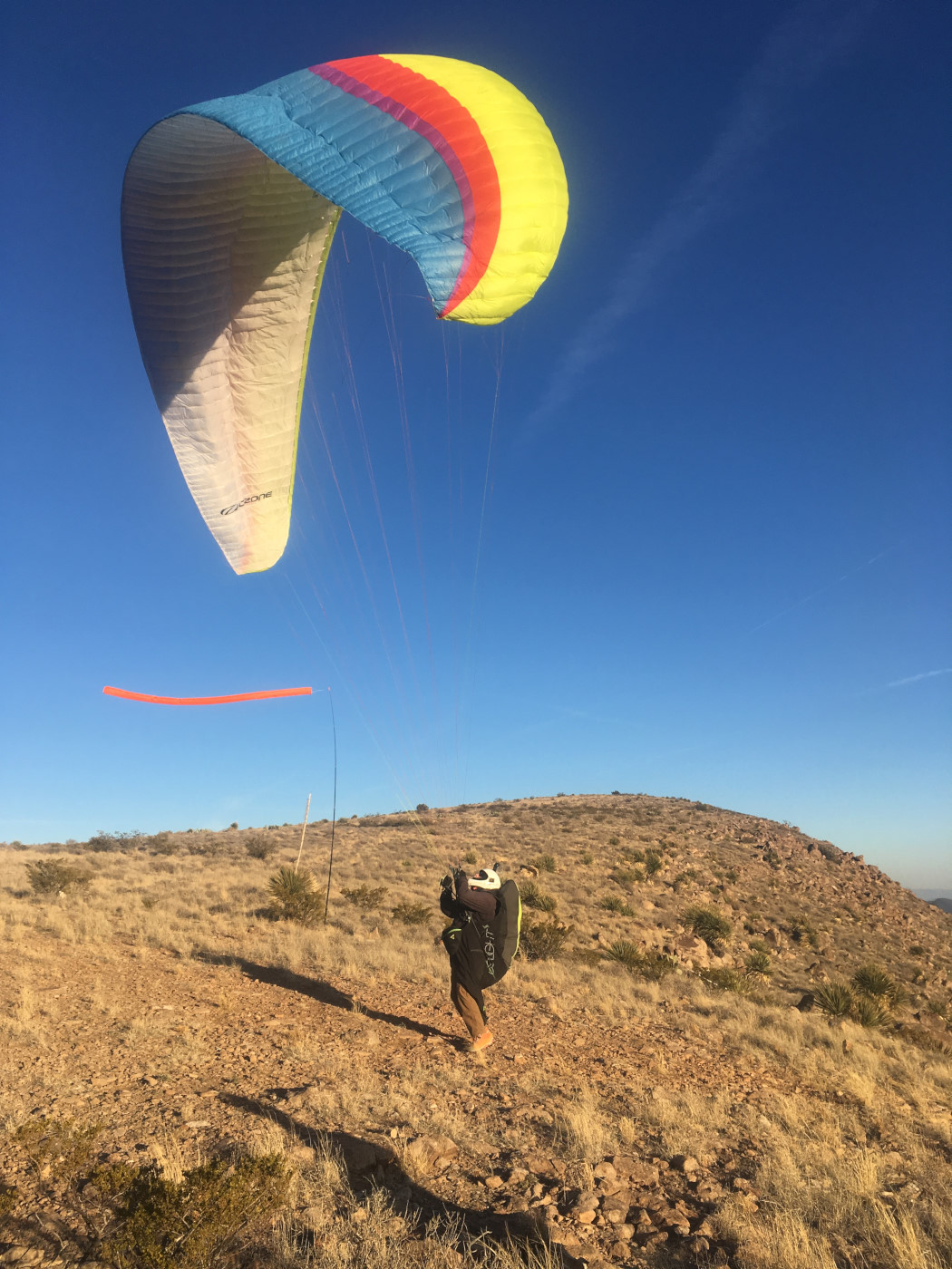
Middle launch is best in most conditions. The more gentle slope in front disturbs the air less as it comes in at launch. Paragliders should use this launch.
At Middle Launch. Photo by Doak Hoover
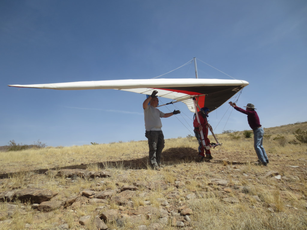
Middle launch looking northeast. The launch slope is just enough for a good hang launch and perfect for PG. Note the broad clear area behind launch which makes top landing a dream. Robin Hastings is preparing to launch – the first HG to fly here.
Jan Zschenderlein (L) and Robin Hastings (R) help Bill Cummings at Middle Launch.
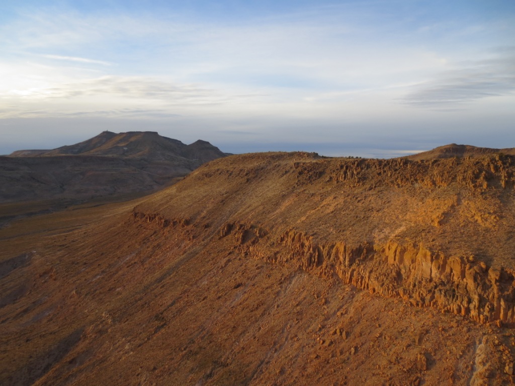
The southern end of the Rim, looking northeast.
Landing Zones
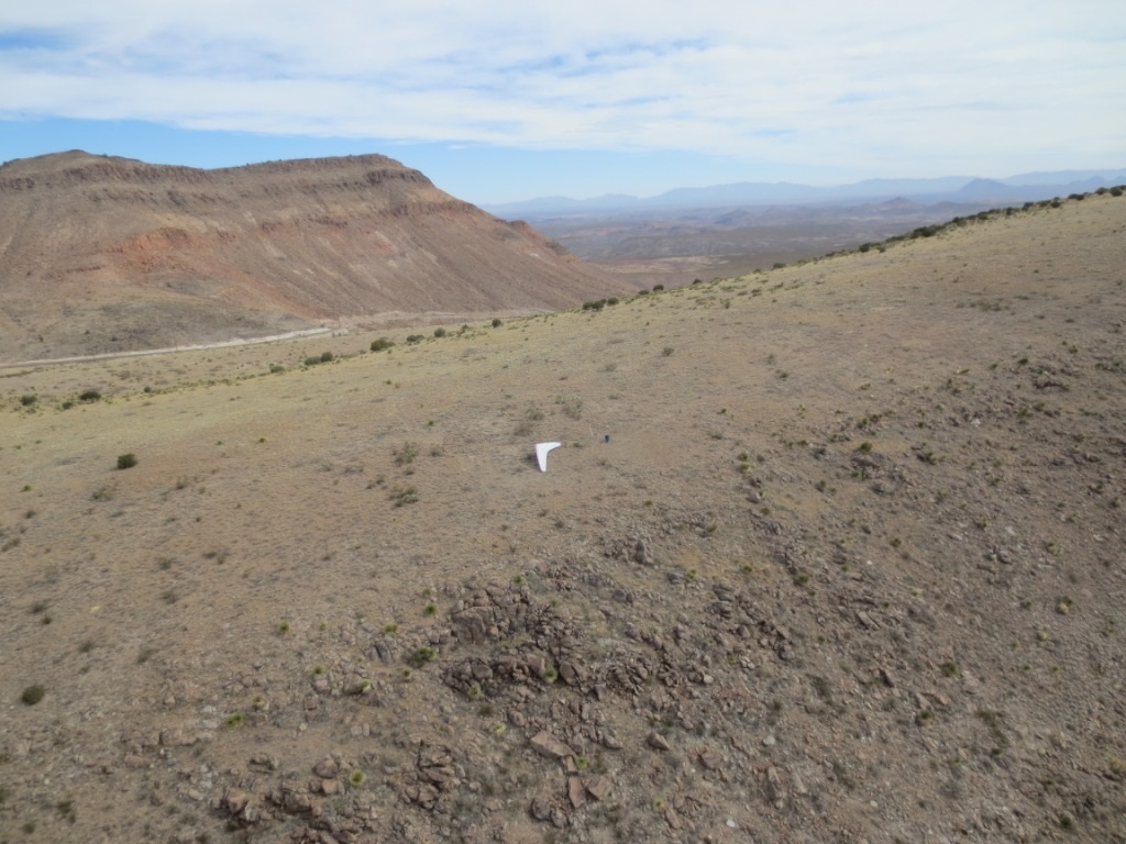
If you start to descend below the top of the rim for any reason (usually weakening conditions), PG pilots can pick out any clear spot at the base of the rim that is below launch. It is a relatively clear area, about 200 yard wide, between the base and the arroyo further out front. Simply head back to launch and soar the rim while descending. When you are 50'-75' above the base, turn straight out and land. It is a gentle downhill slope.
If you have doubts about landing at the base, IMMEDIATELY head for the mesa on the other side of the arroyo.
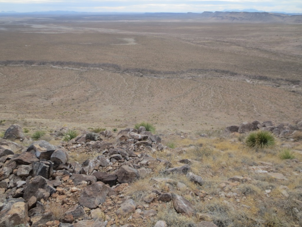
Alternately, experienced pilots should top land. It is to do along the entire length of the rim. However, there is more potentially hazardous rotor behind the rim near the south end. The best area to top land is around Middle Launch or anywhere north, including the parking area. The main LZ is not visible from launch but is reachable on glide. Bailout LZ's are abundant in front of launch but NOT south of it. Stay out of the 30' deep arroyo that runs NW to SE along the front of the rim. Suffice it to say, if you look at it, you will probably land there. It is full of boulders and mesquite trees.
View of the base and alternate LZ from Middle Launch. There is a shallow arroyo out in front which pilots should stay out of – an easy thing to do but not if you do not plan ahead where you are going to land!
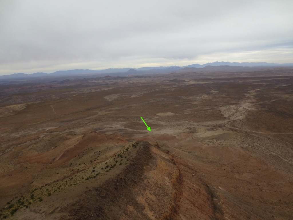
If you are at the south end of the rim, below it, and uncertain whether you can make it back to launch, head for the main LZ. The green arrow in the photo below points to the Main LZ southeast of the southern end of the rim.
Hazards
DO NOT WAIT UNTIL THE LAST MOMENT TO PICK OUT A SAFE LANDING AREA IF YOU ARE GETTING LOW! PG pilots should gead out immediately to the mesa that is on the OTHER side of the arroyo. It only has small bushes that are easily navigable for paragliders. Hang glider pilots should always land in the official LZ because of much easier access.
Pilots must take care not to land in the arroyo that is about 200 yd. out from the base of the Rim. The arroyo is about 200' wide. Beyond the arroyo is a flat plain that is accessible by jeep trail. Just east of the main LZ is a power line that runs along the east side of the road.
Cell service is sketchy at launch and non-existent everywhere else. Amateur radio operators will find the NM Mega-Link Las Cruces (147.18 MHz 100Hz tone) and the Caballo (147.26 MHz 100 Hz. tone) repeaters accessible.
DO NOT FLY THIS SITE ALONE UNLESS YOU HAVE A SATELLITE PHONE or COMMUNICATOR.
Nick Reiter at the north end of the Rim
Below, local pilot Bill Cummings climbs out for an hour flight.

View northwest. The Middle launch is just beyond the left end of the rim that is visible below.
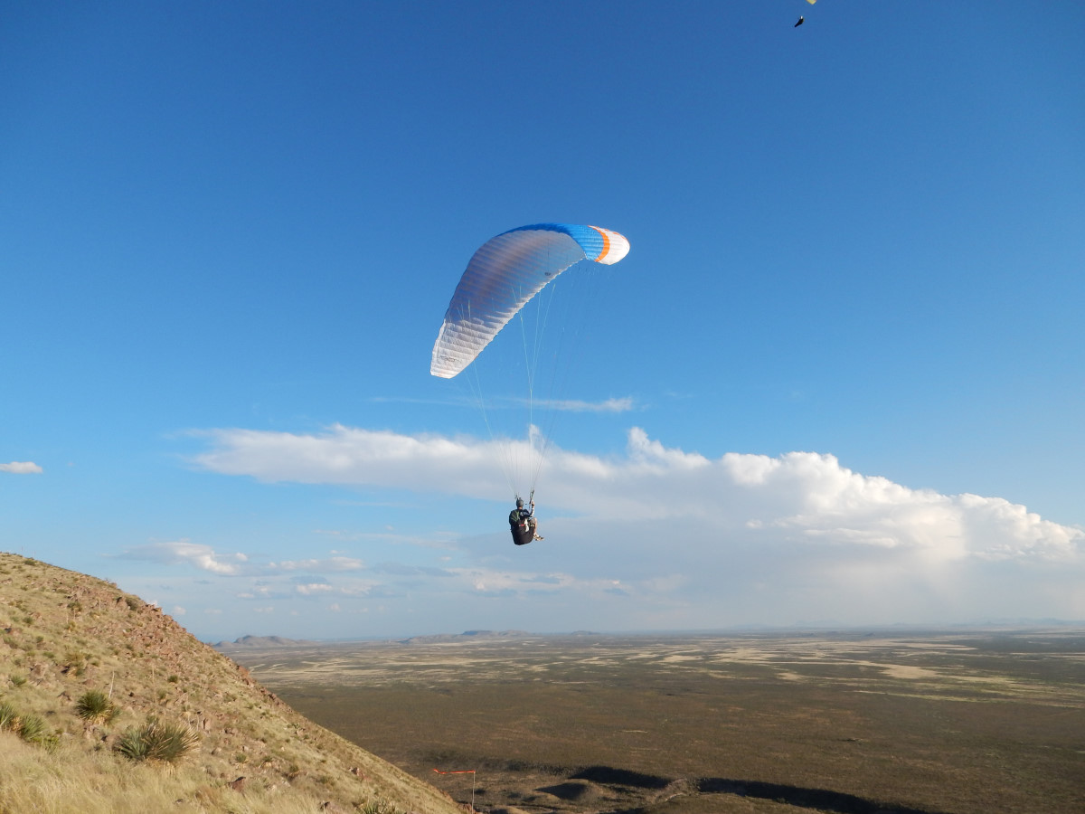
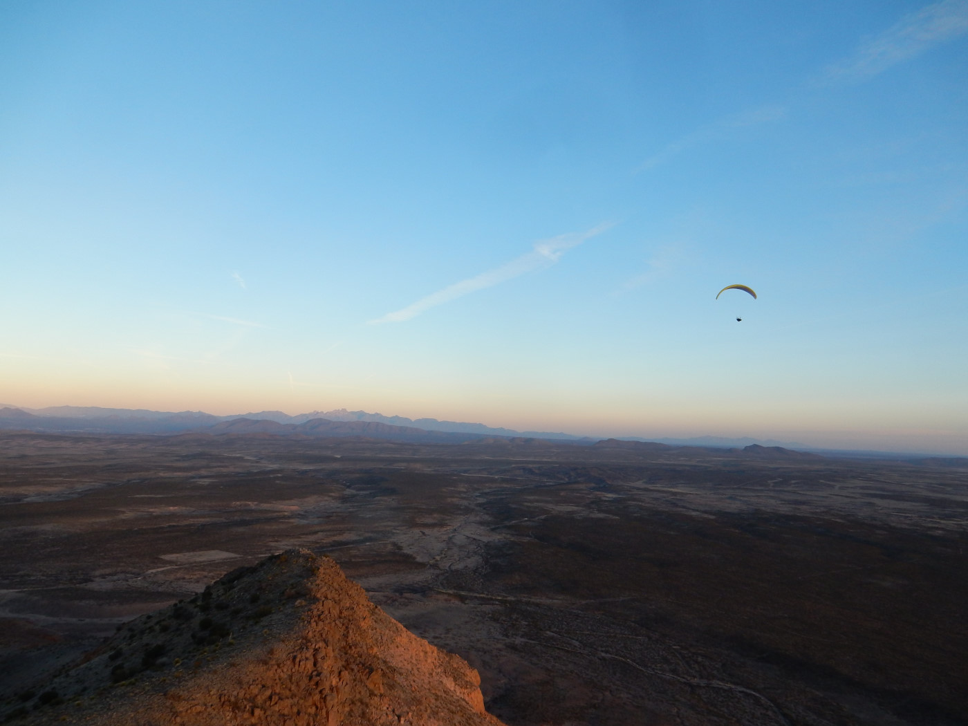
High above the southern end of the Rim

View is southeast. The part of the Rim visible here faces SW. The main LZ is on BLM land just north and west (across the road) from the light colored rectangle (private property) visible in the left foreground. Photo by Steve Crye
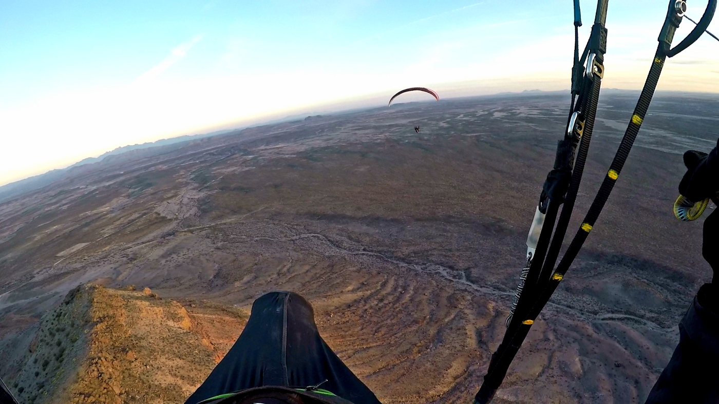
Steve Crye in the lift far south of the Rim. The Organ Mountains east of Las Cruces are visible in the far distance.
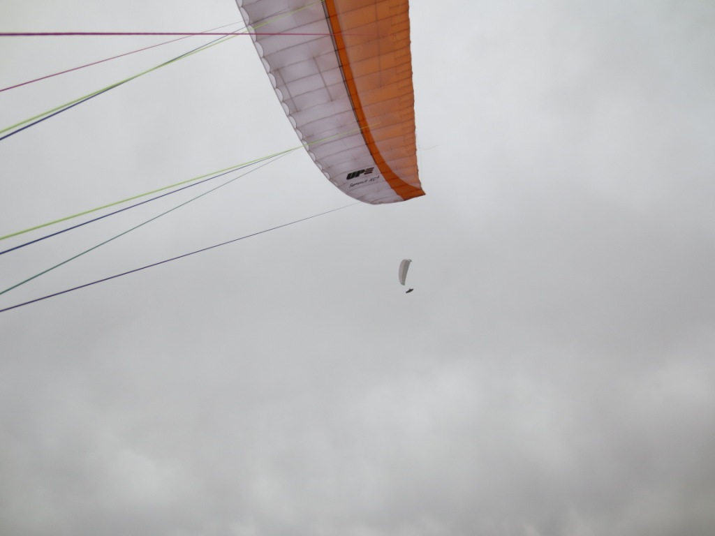
Climbing out above launch. Pilots Had Robinson and the late Lee Boone enjoy the laminar air of an overcast winter's day in February. Temperature was in the upper 50's. A light rain fell at times – but nothing that would discourage us from flying this dream site.
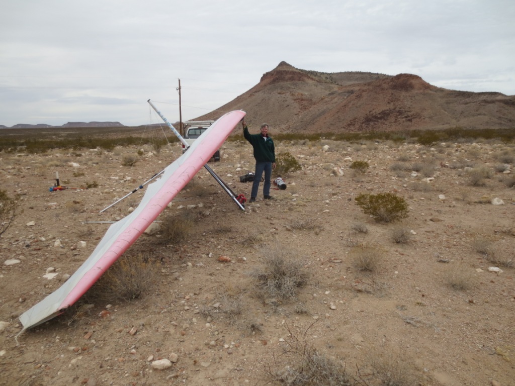
Robin Hastings at the main LZ.
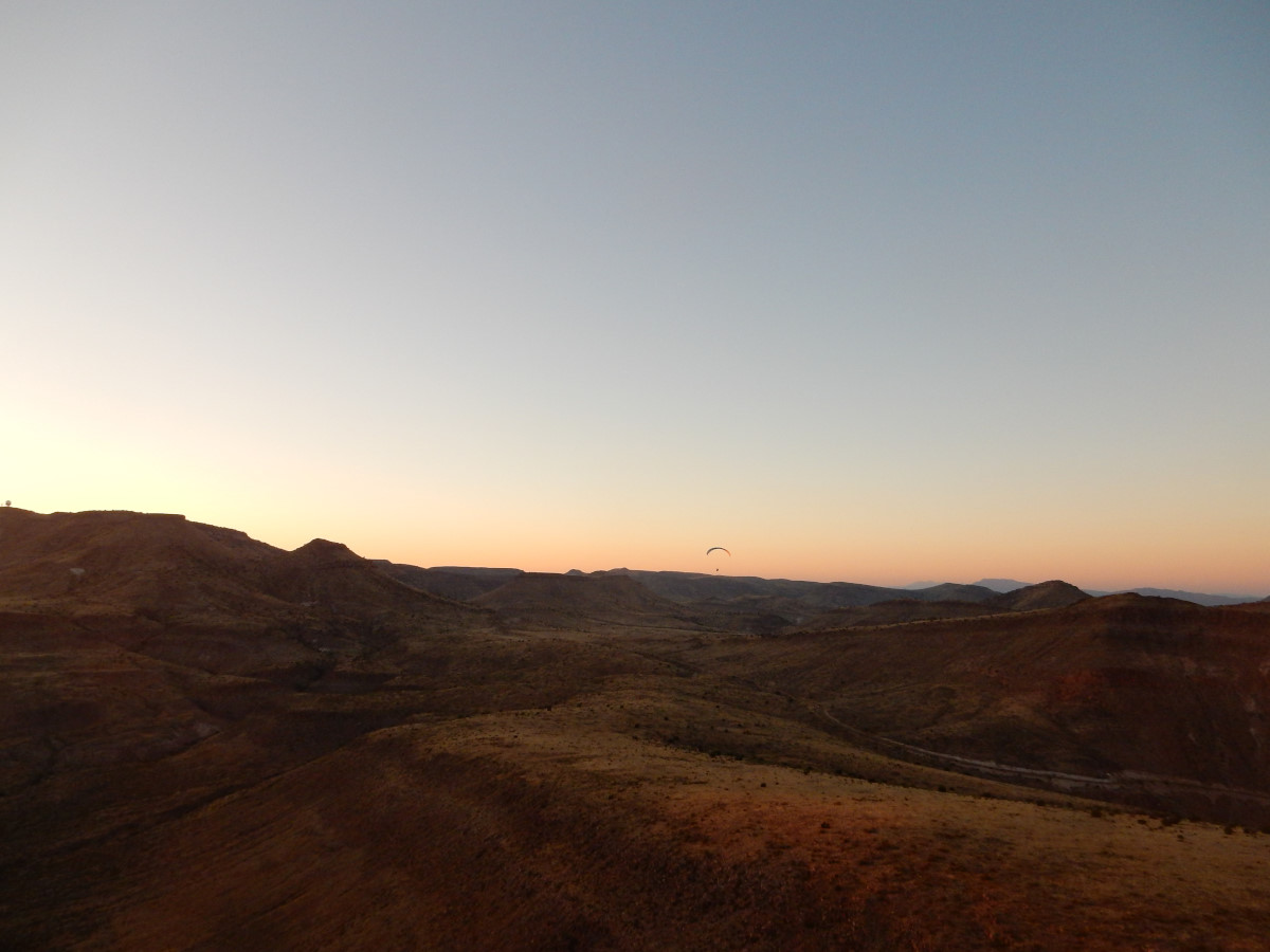
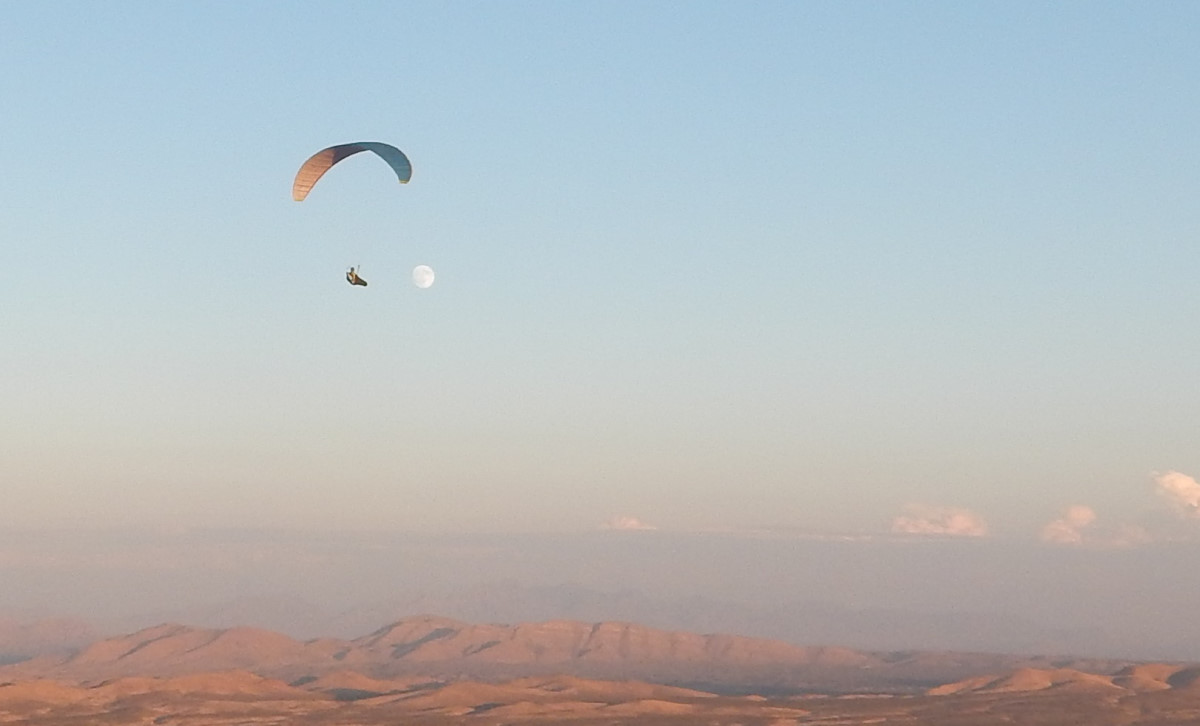
Nick Reiter enjoys the laminar air above the Rim late in the day.
Your membership in the Rio Grande Soaring Association helps to find, develop, preserve, insure, and protect flying sites in the southwest.
USHPA required notification: The RGSA recommends that you do not fly at this site as it is not a chapter managed site. If you do choose to fly at this site, you must take full responsibility for your actions, and recognize that you are fully and solely liable for any damage incurred by yourself, to others, or to others’ property. This site is unimproved with significant safety issues, including potentially challenging wind and thermal conditions. Flying at this site can be risky to the pilot, property owners, and our sport as a whole. This site is unpermitted, uninsured, unmanaged, and unimproved.
![]()

